Satellite images tracked Petermann Glacier iceberg after Joe Island encounter
NASA reports that satellite imagery tracked a large Petermann Glacier iceberg from its August 2026 calving through a brief encounter with Joe Island and onward into Nares Strait. The source records rapid early drift and no further fragmentation during that encounter, while leaving its later condition and the timing of potential future calving unknown.
This edition passed Imananq's enhanced publication checks. Some material claims remain explicitly attributed to official or company sources because no independent source is currently bound to this edition. The engine continues checking approved sources and will add corroboration only through a new edition that passes the full gate.
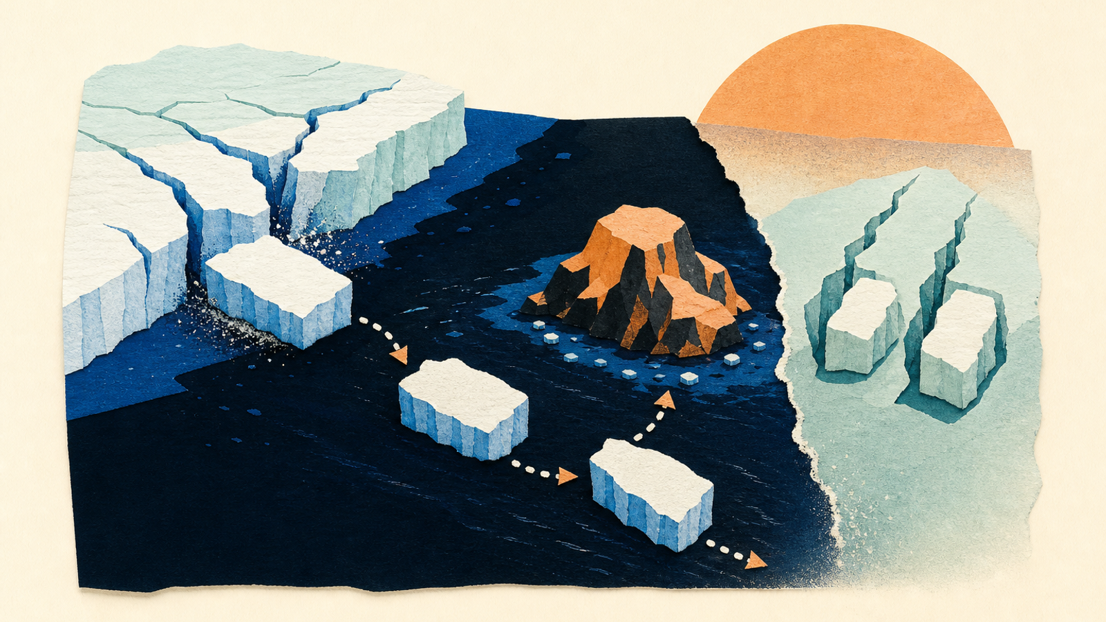
Satellite observations recorded a large iceberg from Petermann Glacier in northwest Greenland moving quickly down Petermann Fjord, striking Joe Island near the fjord mouth, and then turning southwest into Nares Strait without further fragmentation at that point, according to NASA Earth Observatory. [1]
01
What we know now
- 01
NASA Earth Observatory, “Ice Island Survives Run-In With Joe Island,” published September 1, 2026: https://science.nasa.gov/earth/earth-observatory/iceberg-from-petermann-glacier-speeds-away [1]
- 02
The primary source identifies Sentinel-1 imagery from August 4 and Landsat 9 OLI images from August 23 and 24, 2026. [1]
02
Iceberg spotted in Sentinel-1 imagery
NASA says the August calving event was spotted on August 4, 2026.Reported area at calving
NASA reports the research team measured the tabular iceberg at just over 76 square kilometres.Average drift in the following week
NASA reports an average movement of 3 kilometres per day in the week after calving.Landsat views of Joe Island encounter
NASA identifies images from August 23 and 24 showing the iceberg at the fjord mouth and then pivoting away.Reported observations and estimates from NASA Earth Observatory’s September 1, 2026 account.
03
A large ice island separated from Petermann Glacier
NASA Earth Observatory reported on September 1, 2026, that a substantial tabular iceberg, also called an ice island, had calved from Petermann Glacier during August. The glacier is on Greenland’s northwest coast. [1]
The size and historical comparison are reported assessments, rather than independently verified findings in the supplied material. [1]
- The event was spotted in European Space Agency Sentinel-1 imagery on August 4, NASA says. [1]
- NASA reports that the iceberg measured just over 76 square kilometres when it calved, based on the tracking team’s assessment. The agency describes it as the largest Arctic-glacier calving event since 2020. [1]
- NASA does not state the precise date on which the iceberg separated from the glacier. [1]
04
Images showed a collision and a turn into Nares Strait
According to NASA, the iceberg travelled down Petermann Fjord toward Nares Strait and encountered Joe Island, a small rocky outcrop at the fjord’s mouth. The agency’s August 23 and 24 Landsat 9 images document the short interaction. [1]
NASA says the iceberg survived the encounter without further fragmentation at that time. It was estimated to be less than 150 metres thick when it calved. Those figures describe the observed episode, not a prediction of its later condition or speed. [1]
- NASA says the iceberg averaged 3 kilometres of drift per day during the week after calving. [1]
- Landsat 9’s Operational Land Imager captured the iceberg near Joe Island on August 23 and after it pivoted away on August 24. [1]
- NASA says the imagery showed it continuing southwest through Nares Strait. [1]
05
What remained uncertain
The source does not confirm another calving from either remaining rift. It reports the researchers’ expectation, with uncertain timing, rather than a scheduled or observed event. [1]
More broadly, NASA’s article explains that satellite monitoring of calving, ice movement and glacier conditions contributes to longer-term study of glacier stability. Its account does not establish what happened to this iceberg after the late-August images. [1]
- NASA says two substantial rifts were still present in the ice tongue in late August. [1]
- Researchers expected them eventually to yield ice islands of roughly 94 and 84 square kilometres, but did not know when. [1]
- NASA notes that drifting ice islands can later fracture as winds, currents, tides and melting weaken them. [1]
06
What to take from the observations
The account is a late-August snapshot, not a live tracking service or a forecast.
- 01
Treat the reported size, thickness and drift rate as NASA’s account of researchers’ measurements and estimates.
- 02
Use the August 23 and 24 Landsat images to distinguish the observed encounter with Joe Island from predictions about later breakup.
- 03
Do not treat the two remaining rifts as confirmed future calving events; NASA says their timing was uncertain.
07
Limits of this edition
NASA’s account does not give an exact calving date, only that the event was spotted on August 4, 2026. [1]
The supplied evidence does not establish the iceberg’s location or condition after the late-August observations. [1]
Its reported size, ranking, thickness and drift rate are measurements or estimates described by NASA, without an independently supplied corroborating source. [1]
The remaining rifts were expected to calve eventually, but this was not a confirmed event and the timing was uncertain. [1]
SRC
Source desk
Direct links to the material behind this selection. Seeing the source matters as much as reading the synthesis.
Keep exploring

2 Sept 2026
NASA lists free Astrobiology Math problem set for grades 6-12+
NASA lists a free English problem set and guide for grades 6-12+ that applies mathematics to astrobiology topics. The official page describes 75 problems and several suggested instructional uses, but does not establish the resource’s original publication date, revision history or classroom impact. [1]
2 Sept 2026
NASA reports Roman’s first course-correction burn on route to L2
NASA says Roman completed its first mid-course correction burn on August 31, 2026, as part of its transit toward L2. The agency projected insertion about 100 days after launch, but the supplied record does not confirm later maneuvers or arrival.

1 Sept 2026
NASA records ribbon cutting for completed DSS-23 antenna at Goldstone
NASA’s Photojournal documents a ribbon-cutting ceremony for the recently completed DSS-23 antenna at Goldstone on 25 August 2026. NASA describes it as the latest addition to a project planned to add six 34-meter multifrequency antennas, but the entry does not confirm an operational start date, mission use, cost, or quantified capacity effect. [1]